


Autonomous Response Systems
See the scene.
Inform the response.
Firebot Labs provides live aerial views that help first responders assess conditions, plan their approach, and coordinate resources before arriving on scene.
The Problem
The response begins
before arrival.
Dispatch information starts the picture. Conditions on scene add the detail. An aerial view helps first responders assess what is happening while they are still en route.
- What conditions are visible?
- Which access routes are clear?
- What additional resources may be needed?
The System
Aerial imagery
for first response.
Live aerial imagery gives first responders another perspective on the incident, supporting scene assessment, approach decisions, and resource coordination.
01
Assess conditions
View visible incident conditions before arriving on scene.
02
Plan the approach
Use aerial context to inform access routes and apparatus placement.
03
Coordinate resources
Help incident commanders assess whether additional resources are needed.
04
Follow changing conditions
Use updated aerial views to support ongoing scene assessment.
Applications
Built for real-world operations.
Different operating environments. A shared need to understand conditions and coordinate a response.

Public Safety
Assess the scene. Prepare the response.
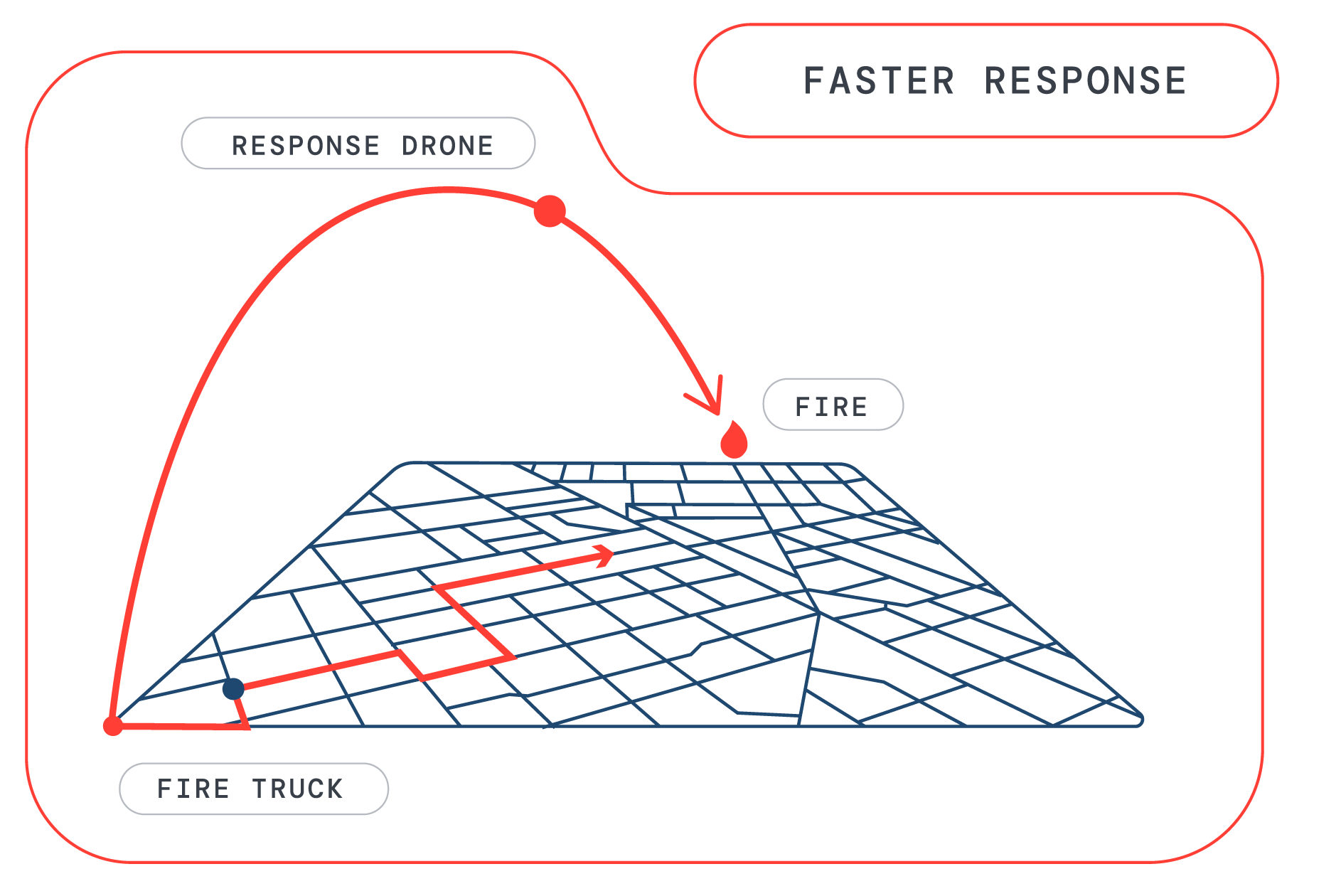
Live aerial views help first responders assess conditions, evaluate approach routes, and coordinate resources while en route.
Critical Infrastructure
Visibility across essential assets.
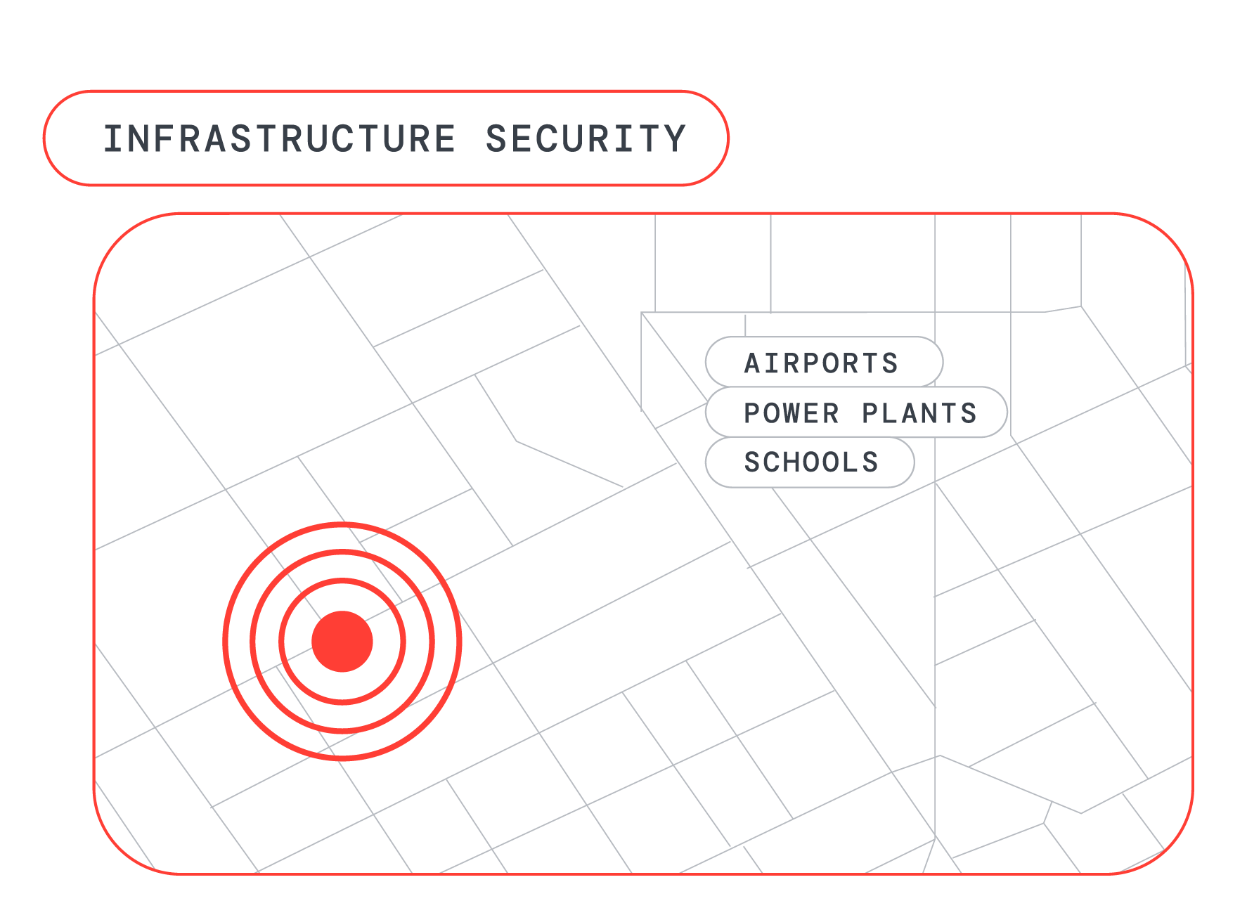
Aerial imagery helps operators assess visible conditions around critical assets and coordinate a response when an issue is identified.
Urban Security Networks
A shared view across the coverage area.
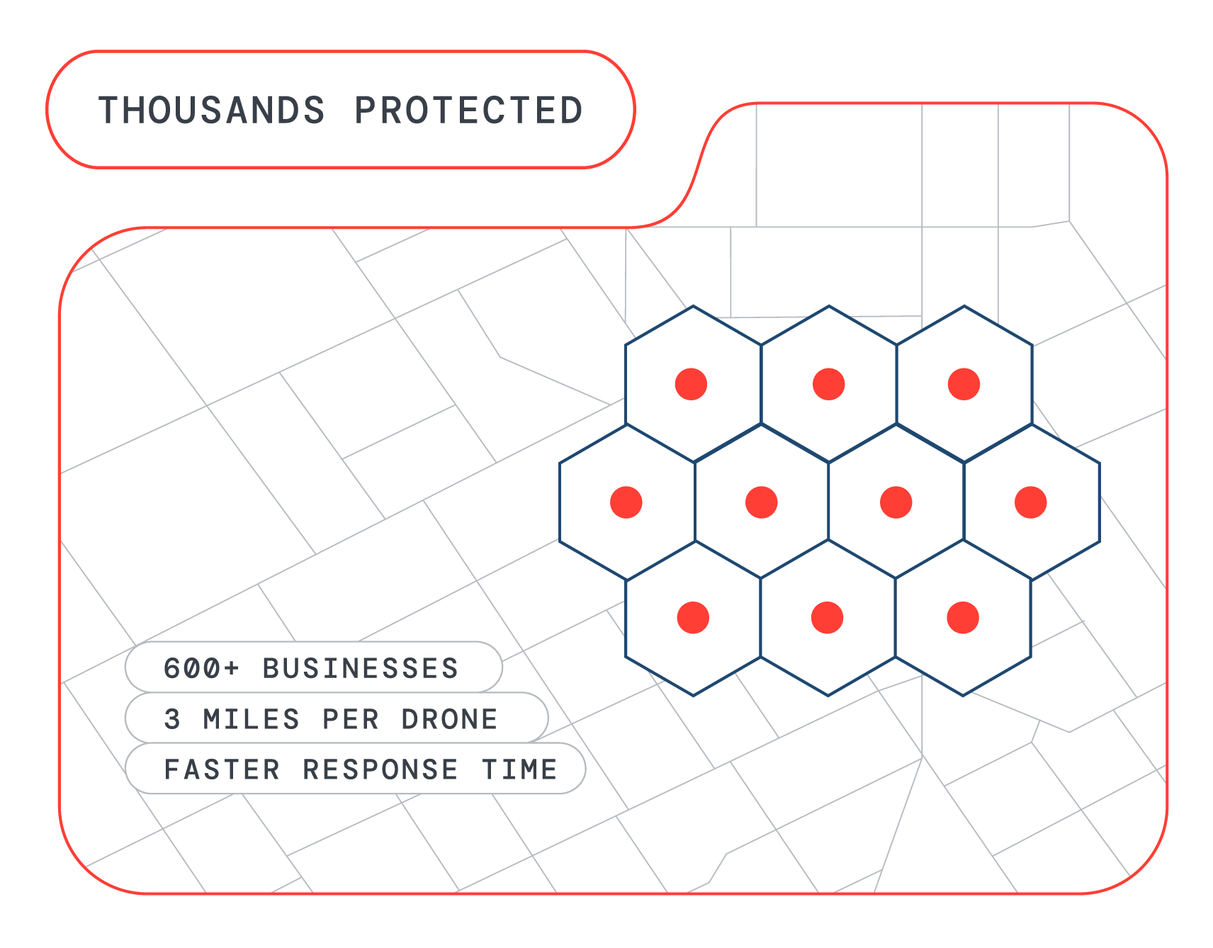
Aerial imagery gives security teams context across business districts, shopping centers, and campuses, helping them assess reported incidents and coordinate personnel.
Enterprise Security
Assess conditions before sending personnel.
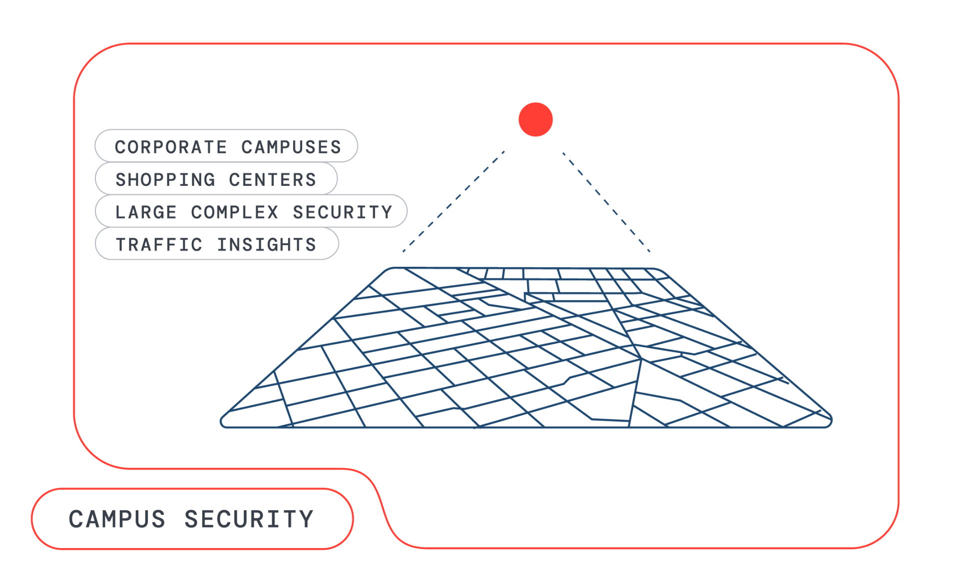
Aerial views help security teams assess reported incidents, understand access conditions, and coordinate a response across facilities and campuses.
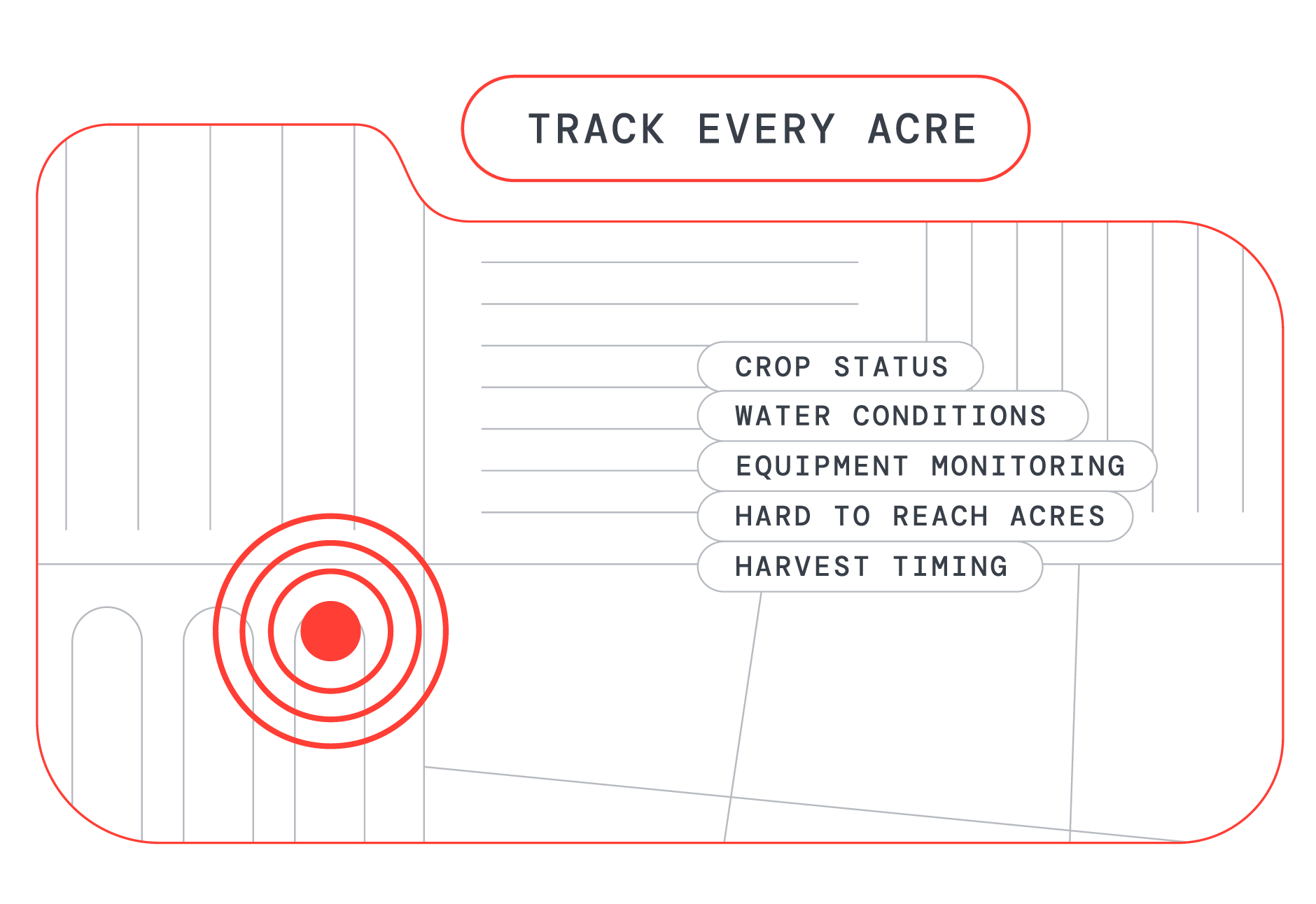
Agriculture / Wildland
Aerial context across fields and open land.
An aerial perspective can help teams assess visible conditions across agricultural land and wildland areas.
Expanded wildland capabilities are in development.
Supporting capability
Imagery that supports review.
Across every application, aerial imagery captured during a response can be reviewed afterward to support debriefs, planning, and coordination between teams.
In the field
Response applications.
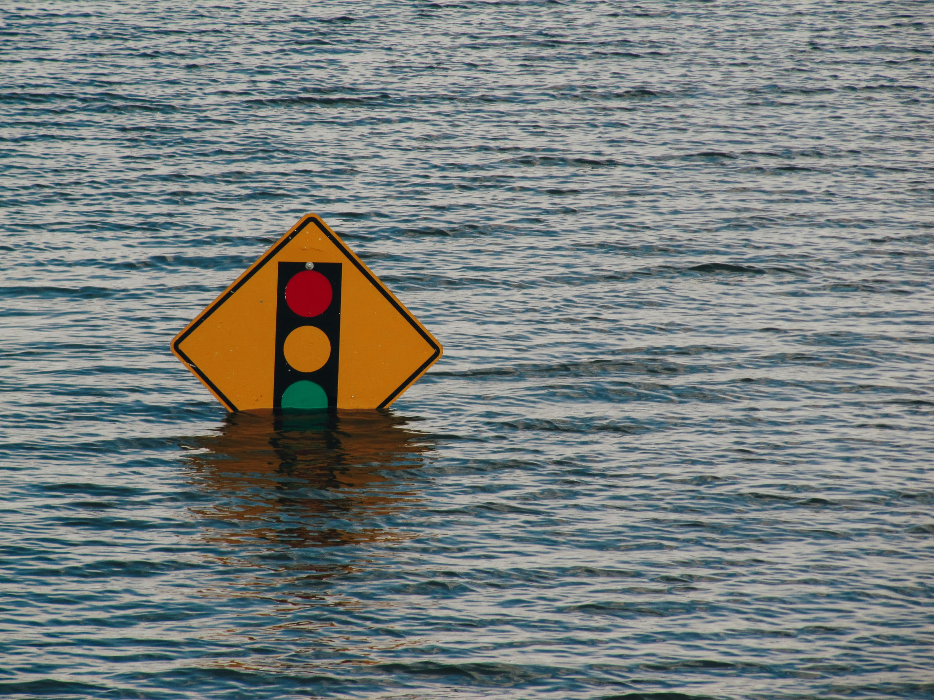
Assess access and visible flood conditions.
Aerial imagery can help responders review flooded roads, affected structures, and potential access routes.
- •View visible flood extent
- •Assess access constraints
- •Support coordination across affected areas
Why we build
For the people who respond.
First responders make consequential decisions under pressure. Firebot Labs exists to support that work with timely aerial information, helping the people on the ground assess conditions and coordinate their response.
On Scene
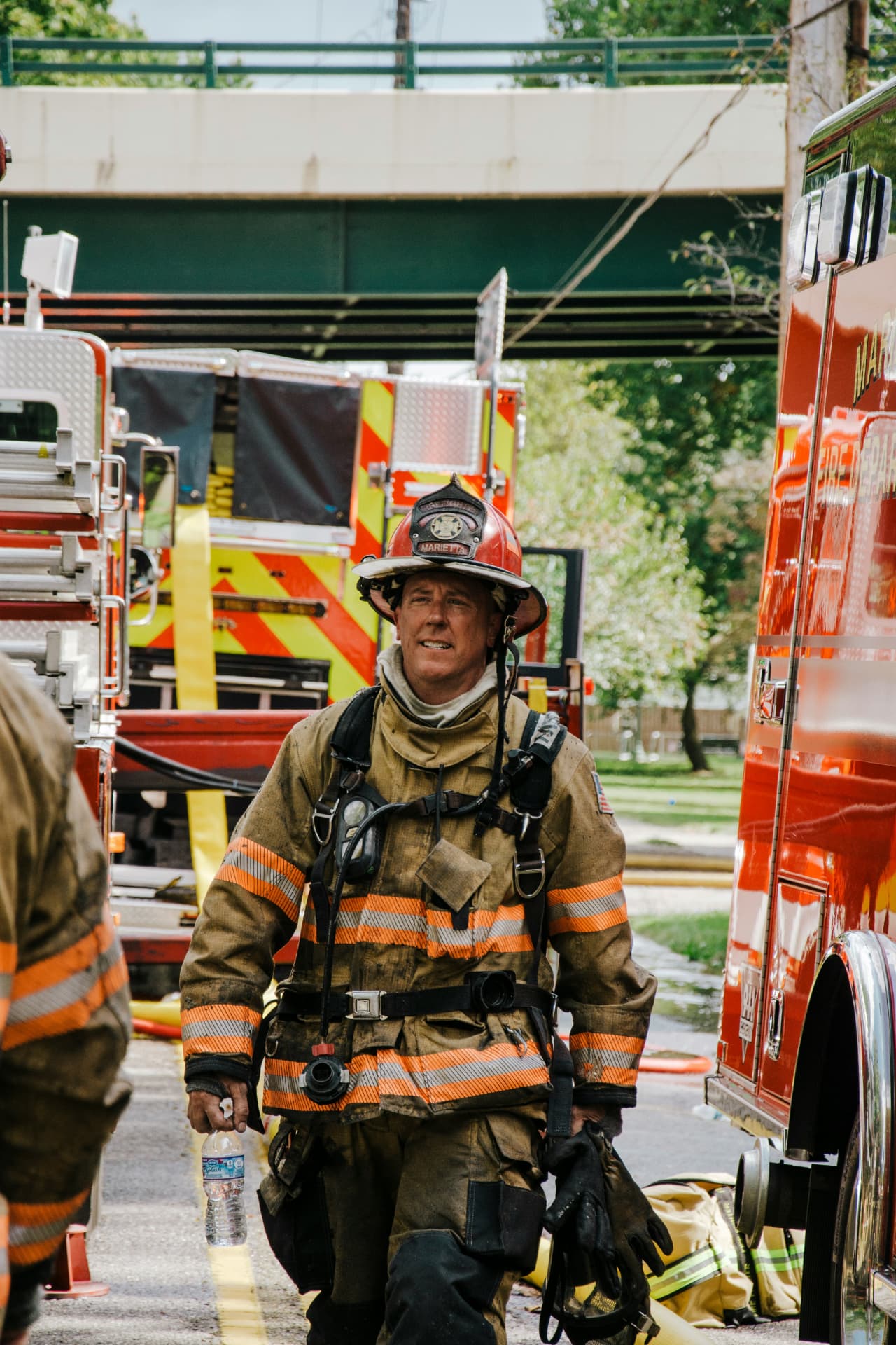
Heading back toward the scene.
En Route
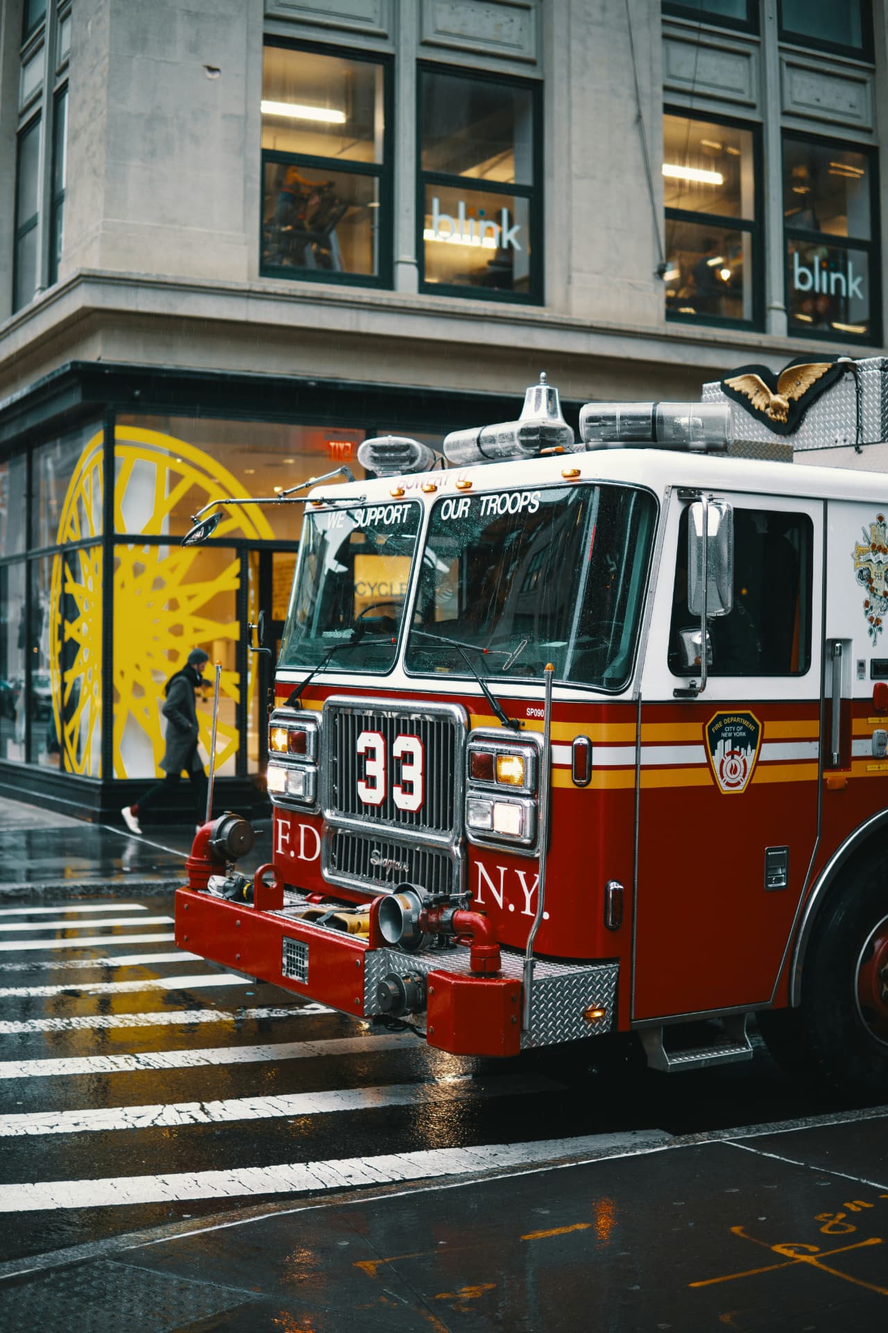
Apparatus positioned and ready to respond.
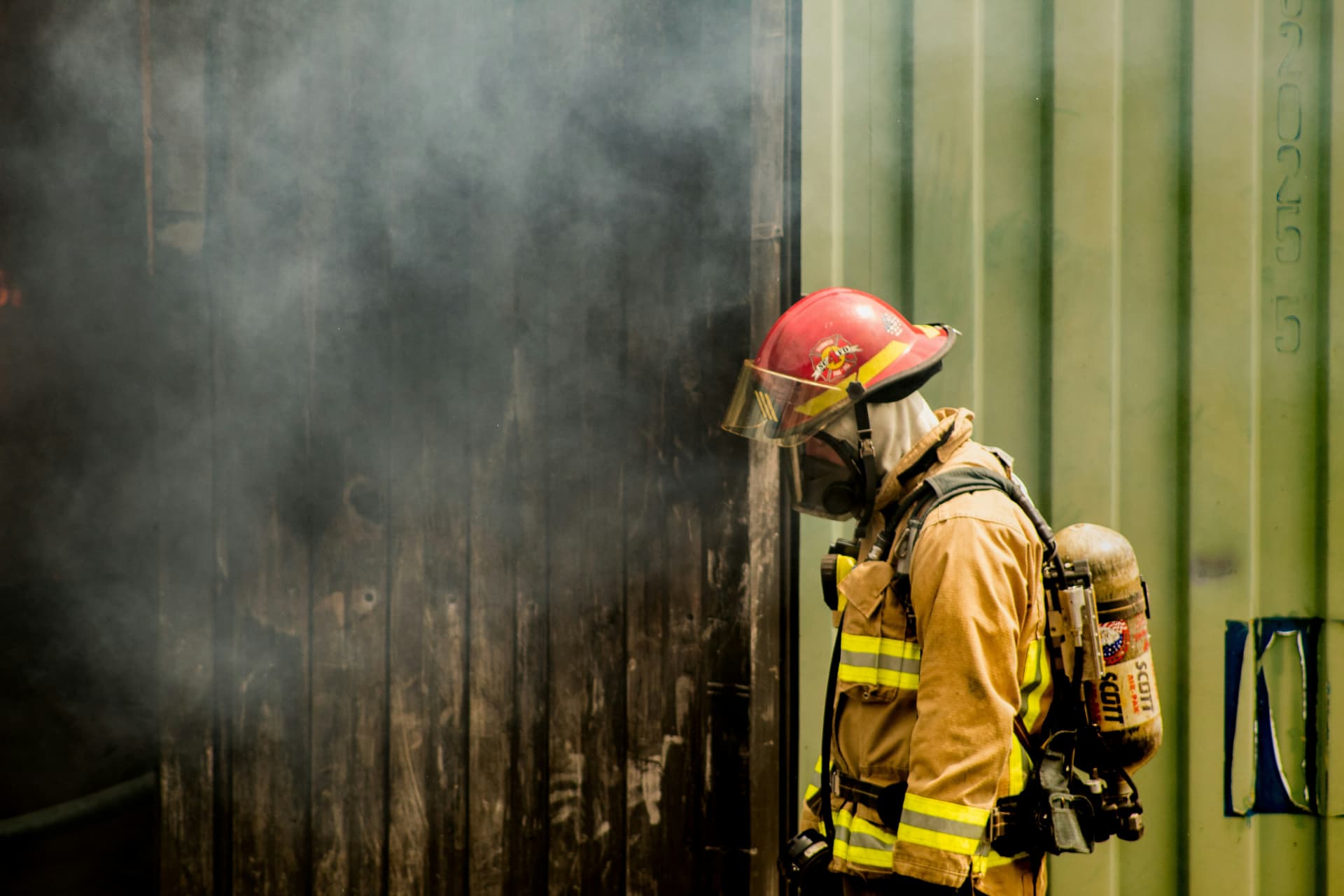
On the Line
Facing conditions up close.
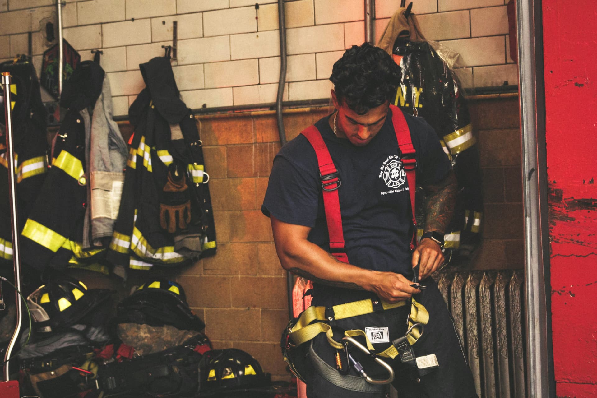
Ready
The crews who respond, side by side.
Why now
The moment for
earlier scene information.
01
Complex incidents
Departments must assess changing conditions, coordinate resources, and adapt as incidents develop.
02
Resource pressure
Staffing, equipment, maintenance, and fuel costs put pressure on department budgets.
03
Earlier scene information
Live aerial views can support assessment and coordination before responders arrive.
Get in touch
Talk through your department’s needs.
Discuss your coverage area, response workflow, and questions with the Firebot Labs team.
info@firebotlabs.com